


Language and Maps (Part 2)
Let’s look at Maps

In the first part, I mentioned that there were two things that captured my attention: Language and Maps.
How did Maps come about? I was actually following Daniel Steiner’s YouTube video and was amazed by the amount of research he has done. If you are interested in how he presents maps, check out the video below.
https://youtube.com/@danielsimssteiner
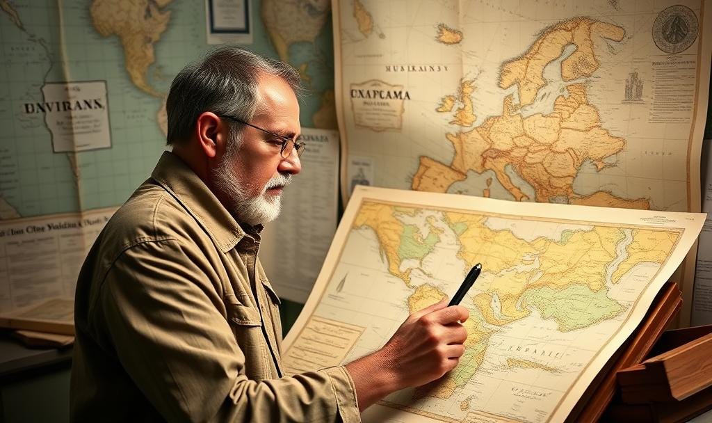
What about Maps?
Maps is like the balance sheet in accounting. It provides a snapshot of the city or country it represents at a point in time. So a collection of maps on the same city, along the time dimensions will tell the history of the city’s growth.
It can shed a lot of light on a particular city.
Architecture
If you follow the growth trajectory of a city through maps, you can determine what kind of influence it went under during its history. This will make us better appreciate the architecture of buildings, what kind of architectural influence the city was exposed to, and why. This can be drawn back to the past events and happenings in the city, such as major city fires, foreign invasions, major trade routes, etc.
Culture
How is culture established in maps, you might ask? Imagine you are in a foreign land, it’s the first time you are there, and you are planning to settle into it. What is likely to happen in the first few months you are there? There is a very good opportunity that you will be looking for folks similar to you, and back then, that will mean you find folks who are from the same place of origin. Why? In an unfamiliar place, having some familiarity helps, and you are likely to get assistance from a group of people similar to you.
From maps, you are see where the enclaves gathered and how their influence and community grew as the years passed. Did they take over as the politicians or business community, etc.
Major Events
If a city is constantly being attacked, there is a good chance that you can see fortifications or remnants of it left, for instance moats (in the case of Japan), city or castle walls (in the case of Europe and China). The position of the walls and the city gates will tell one generally where human flows come from.
If there is a large shift in buildings from one place to the other, it may signify interesting developments like major roads built, or major fire.
If there is any change in the building names detected, especially famous landmarks or buildings, it can also signify interesting developments too! For example, from Twin Tower to Freedom Tower.
Conclusion
Yes, there is so much to learn from Maps and cartography. This is especially true of places with a long history, like New York, Tokyo, etc. Together with language and maps, we can learn so much about history and humanity in general. All these learning experiences can be accentuated further if one were to travel to the places and be immersive.


